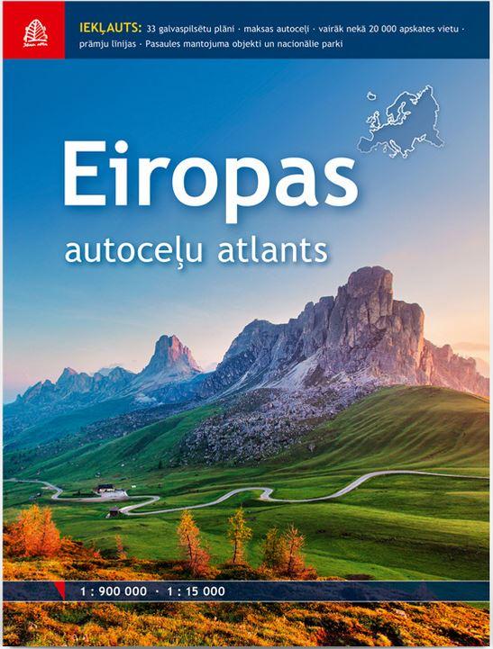
Eiropas autoceļu atlants - Road Atlas of Europe
| Price (EUR): | 17.60 |
| Publisher: | Karšu izdevniecība Jāņa sēta / Kunth Verlag |
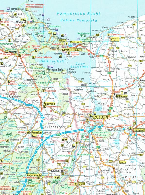
| Scale: | 1:900'000 |
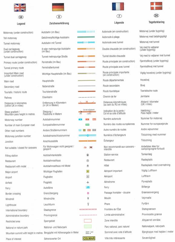
| Language: | English, German, French, Danish |
| Country: | Albania, Austria, Andorra, Belgium, Bosnia-Herzegovina, Bulgaria, Croatia, Czech Republic, Cyprus, Denmark, Estonia, Finland, France, Gemany, Greece, Hungary, Ireland, Italy, Kosovo, Latvia, Lithuania, Liechtenstein, Luxembourg, Macedonia, Malta, Monaco, Moldova, Montenegro, The Netherlands, Norway, Poland, Portugal, Romania, San Marino, Serbia, Slovakia, Slovenia, Spain, Sweden, Switzerland, United Kingdom |
| EAN: | 9789984077307 |
- Edition 2017
- Scale 1: 900'000
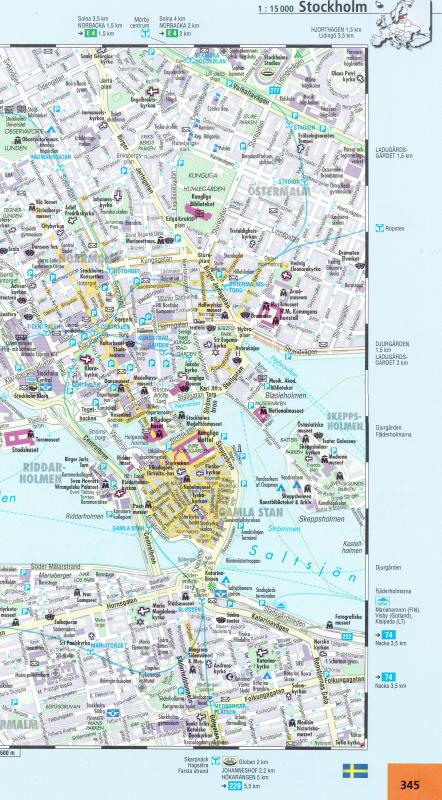
- City plans of 33 capitals in scale 1:15'000 (Amsterdam, Athens, Berlin, Beograd, Bern, Bratislava, Brussel, Bucarest, Budapest, Dublin, Helsinki, Istanbul, Kopenhagen, Lisbon, London, Ljubljana, Luxembourg, Madrid, Moscow, Monaco, Oslo, Paris, Praha, Reikjavik, Riga, Roma, Stockholm, Sofija, Tallinn, Vilnius, Warszawa, Wien, Zagreb)
- Size 23 x 30 cm
- 352 pages
- Soft covers
- Toll motorways and ferry lines
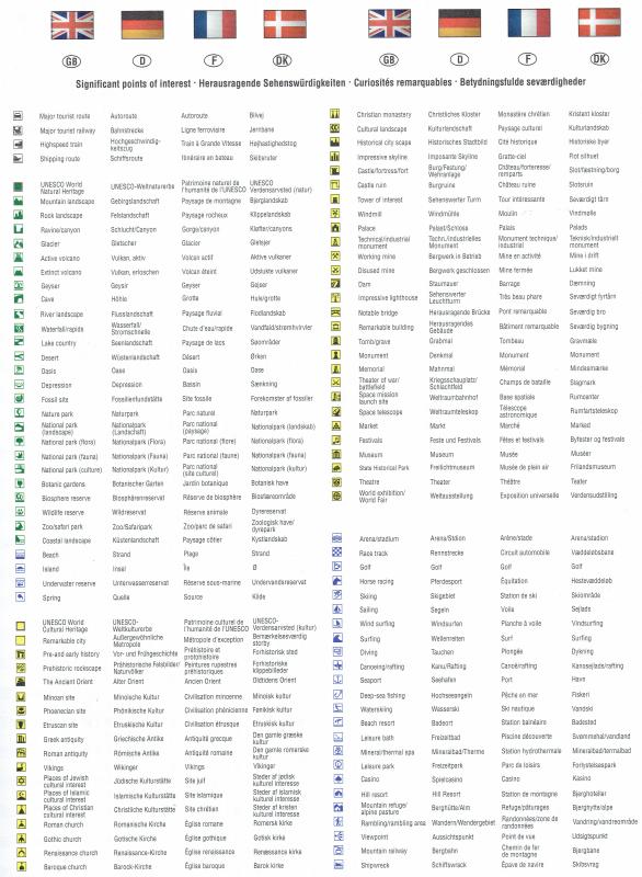
- Information about more than 20 000 sightseeing objects
- UNESCO World Natural Heritage objects and National parks
- Practical information about main traffic rules in each country of Europe, national currency
- Road distances between biggest cities
- Index of place names

