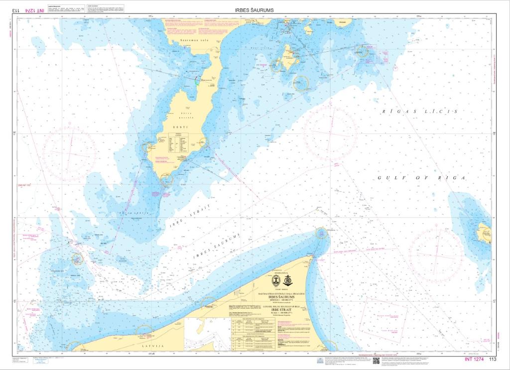
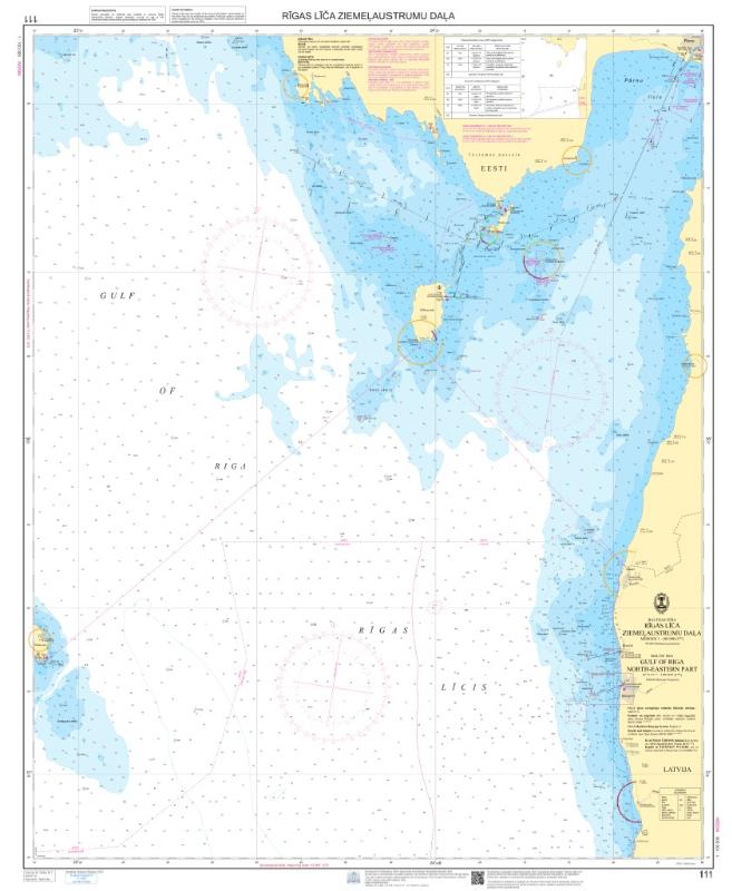
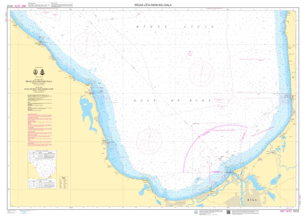
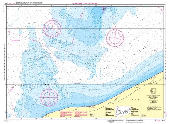
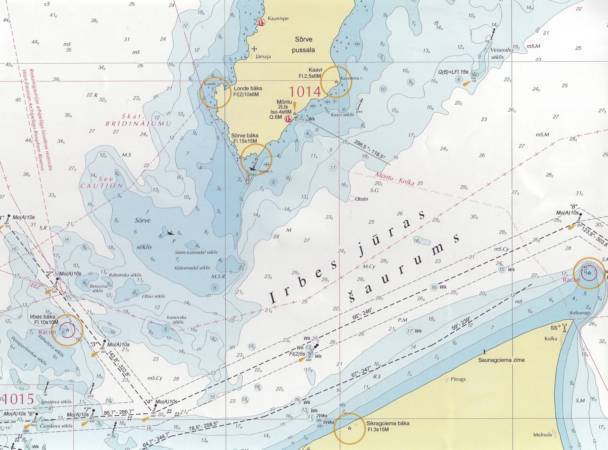
Latvijas Jūras navigācijas kartes - Navigational Charts of Latvia

detailed_img_both

Publisher:Latvijas Jūras administrācija. Hidrogrāfijas dienests
Pages/Scale:1:2'000 – 1:250'000
Language:Latvian, English
Country:Latvia
  • Navigational charts issued by Hydrographyc Service of Latvia
  • All charts are compiled on Mercator projection and WGS 84 Geodetic System.

Related Items:


Image Title Category Price Buy
Baltic Sea.Approaches to the Port of Liepaja Nautical maps EUR 49.99
Baltic Sea. Approaches to the Port of Ventspils Nautical maps EUR 49.99
Baltic Sea. From Pavilosta to Shventoji Harbour Nautical maps EUR 49.99
Baltic Sea. Gulf of Riga Nautical maps EUR 49.99
Baltic Sea. Gulf of Riga.Irbe Strait Nautical maps EUR 49.99
Baltic Sea. Gulf of Riga. North-Eastern Part Nautical maps EUR 49.99
Baltic Sea. Gulf of Riga. Roja Port to Port of Riga Nautical maps EUR 49.99
Baltic Sea. Irbe Strait. Sīkragciems to Ovīši. Nautical maps EUR 49.99
Baltic Sea. Irbe Strait to Gotland Island Nautical maps EUR 49.99
Baltic Sea. Irbe Strait to Port of Ventspils Nautical maps EUR 49.99
Baltic Sea. Ovishi Lighthouse to Pavilosta Harbour Nautical maps EUR 49.99
Baltic Sea. Pavilosta to Klaipeda Nautical maps EUR 49.99
Baltic Sea. Port of Liepaja Nautical maps EUR 49.99
Baltic Sea. Port of Pāvilosta. Nautical maps EUR 49.99
Baltic Sea. Port of Ventspils Nautical maps EUR 49.99
Gulf of Riga. Approaches to the Port of Riga Nautical maps EUR 49.99
Gulf Of Riga. Port of Mersrags Nautical maps EUR 49.99
Gulf Of Riga. Port of Riga. Northern Part Nautical maps EUR 49.99
Gulf Of Riga. Port of Riga. Southern Part Nautical maps EUR 49.99
Gulf Of Riga. Port of Roja Nautical maps EUR 49.99
Latvijas Jūras navigācijas kartes (22) Page Nr. 1 no 2

 12>>>